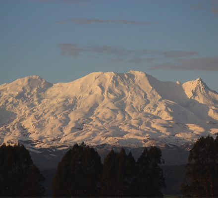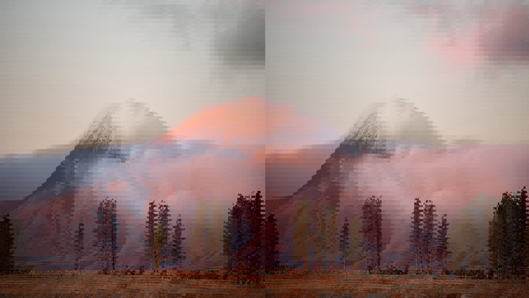


Situated just south of Lake Taupō in the centre of the North Island, the Ruapehu region with its dramatic volcanic landscapes, lush native forests and spiritual rivers epitomises New Zealand's pure outdoors.
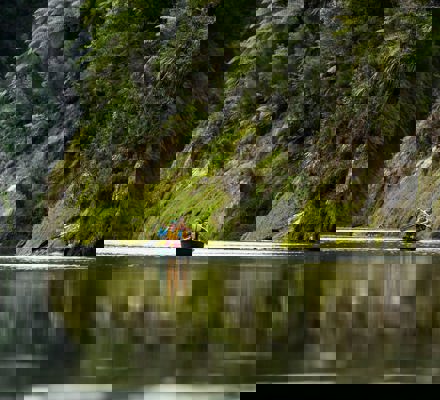
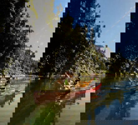
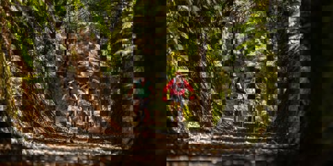
The Ruapehu region is the only area in New Zealand where you can experience such dramatic volcanic landscapes of the Tongariro National Park World Heritage site and, within the same area, immerse yourself in the lush dense forest of the Whanganui National Park. The power of the mountains in the Tongariro National Park coupled with the mighty Whanganui River will leave you mesmerised and energised.
Immerse yourself in Our Greater Outdoors
Ruapehu is proudly home to Tongariro National Park World Heritage site, as well as the historical and culturally significant Whanganui National Park, making the area one of New Zealand’s premium outdoor destinations.
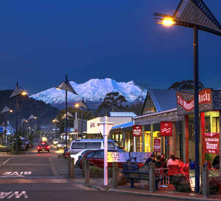
Situated in the middle of the North Island, south of Lake Taupō, Ruapehu is made up of a range of unique towns and villages each with their own charms. Ohakune, Waimarino - National Park Village, Whakapapa Village, and Taumarunui are the larger of these. Base yourself in or around this stunning region and spend some time exploring Our Greater Outdoors away from the hustle and bustle of everyday life